Open environmental data and GRIB services for navigation, research, and operational forecasting
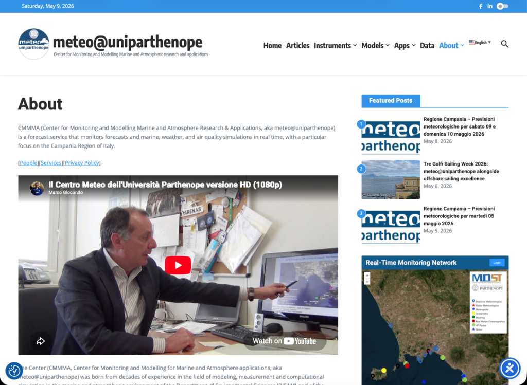
The Center for Monitoring and Modeling Marine and Atmosphere applications (CMMMA, https://meteo.uniparthenope.it) of the University of Naples “Parthenope” announces the release of the new meteo@uniparthenope web portal and mobile web application, a major evolution of the operational environmental forecasting platform developed over the years by the HPSC Lab and the Department of Science and Technologies.
The new platform has been designed around a simple idea: environmental information should be accessible everywhere, immediately, and openly. Whether accessed from a desktop workstation, a smartphone onshore, or a navigation system at sea, the new portal offers a faster and more intuitive experience while preserving the scientific quality and operational reliability that have always characterized meteo@uniparthenope.
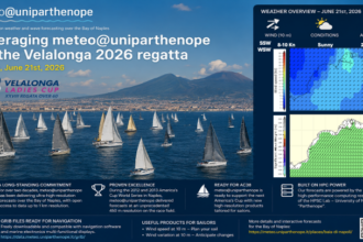
Particular attention has been dedicated to mobile usage. The new interface adapts dynamically to smartphones and tablets, allowing weather maps, sea state forecasts, radar products, and marine data to be explored naturally even under low-bandwidth conditions. This approach reflects the increasing demand for operational environmental information outside traditional office environments, especially among sailors, offshore operators, researchers, and outdoor professionals.
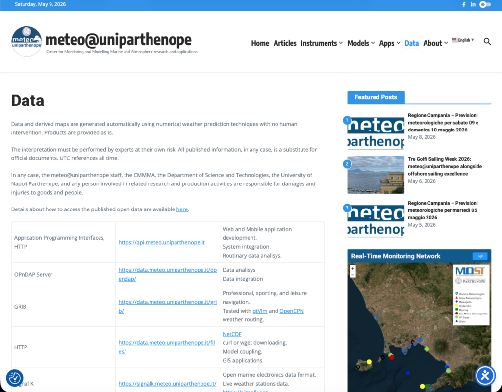
At the core of the new release is a strong commitment to Open Data principles. Forecast products generated by the operational modeling chains are now distributed through openly accessible services designed to encourage interoperability, transparency, and reuse. The platform exposes meteorological, oceanographic, and environmental datasets through standard technologies, including REST interfaces, OPeNDAP services, Web Map Services, and direct HTTP distribution channels. The objective is not only to provide forecast visualization through the portal itself, but also to allow external applications, scientific workflows, educational projects, and third-party systems to directly integrate operational environmental data.
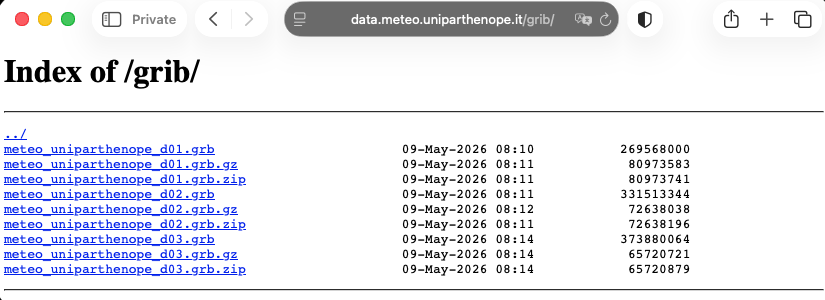
One of the most important innovations introduced with the new platform is the operational availability of GRIB forecast files for navigational applications.
The GRIB format remains the international reference standard for compact marine meteorological data exchange and is widely adopted by onboard navigation systems and weather routing software. Through the new services, users can access wind, pressure, wave, and marine forecasts optimized for sailing, offshore navigation, and low-bandwidth maritime communications.
The availability of openly accessible GRIB products allows direct integration with widely used navigation software such as OpenCPN, qtVlm, and other onboard routing systems. Forecast data can therefore accompany navigators directly at sea, supporting route planning and operational decision-making using high-resolution environmental predictions generated by the meteo@uniparthenope modeling chains.
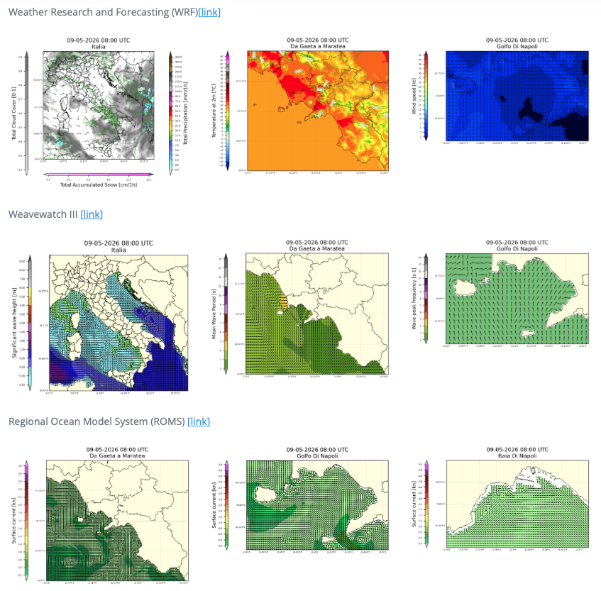
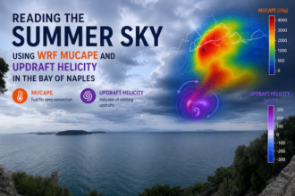
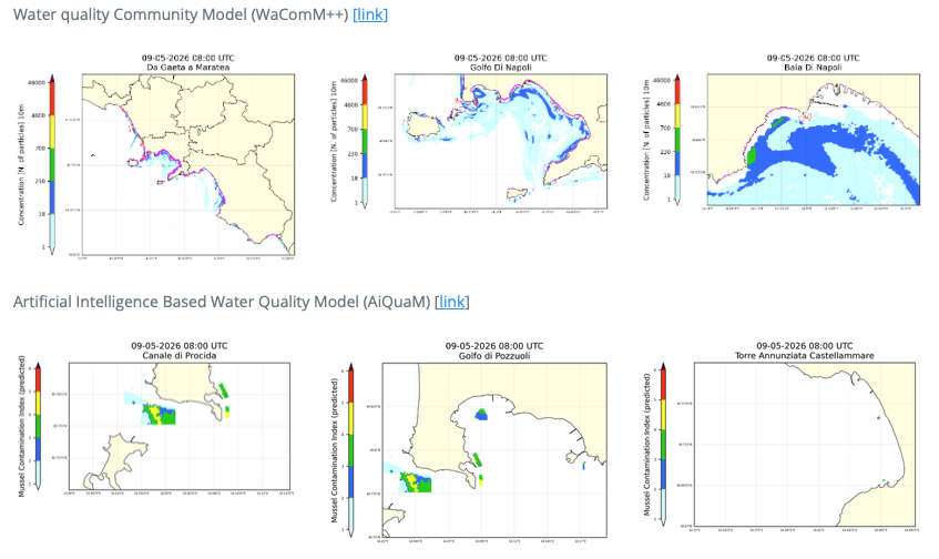
Behind the new portal lies a consolidated operational infrastructure based on advanced numerical environmental modeling. Atmospheric forecasts generated through WRF, wave forecasts produced with WaveWatch III, coastal circulation simulations based on ROMS, and additional environmental applications developed within the WaComM++ ecosystem are continuously executed on dedicated High-Performance Computing infrastructures. The result is a forecasting system capable of delivering detailed environmental products over the Mediterranean basin and Southern Italy with resolutions reaching local scales suitable for coastal and marine applications.
The new portal is therefore more than a graphical redesign. It represents an evolution toward an open environmental digital ecosystem where operational forecasting, scientific computing, interoperability, and public accessibility converge into a single platform. By combining open standards, modern web technologies, and scientific modeling expertise, meteo@uniparthenope continues its long-standing mission of making advanced environmental forecasting tools available to citizens, researchers, institutions, and the maritime community.